
The Guernsey Sanctuary on Sabrina Lake was donated by Mr. and Mrs. William G. Guernsey in 1961. Their initial gift was 13 acres. Subsequently, the Guernseys added another 12 acres to make a total of 25 acres.
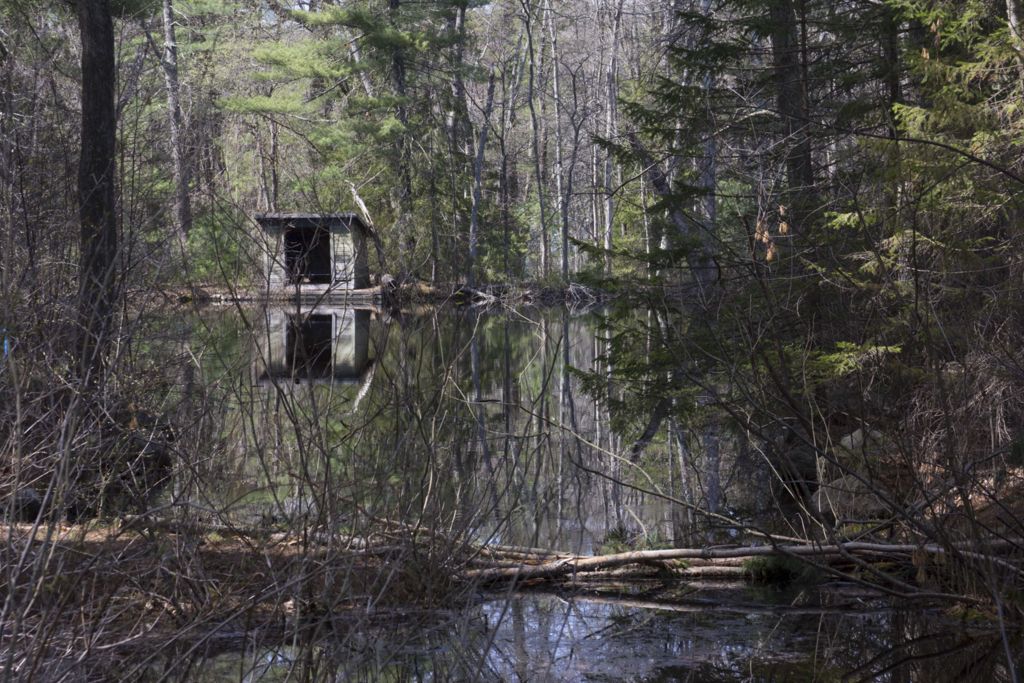
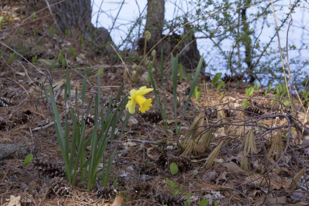
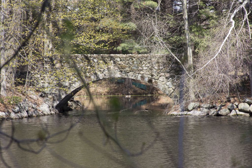
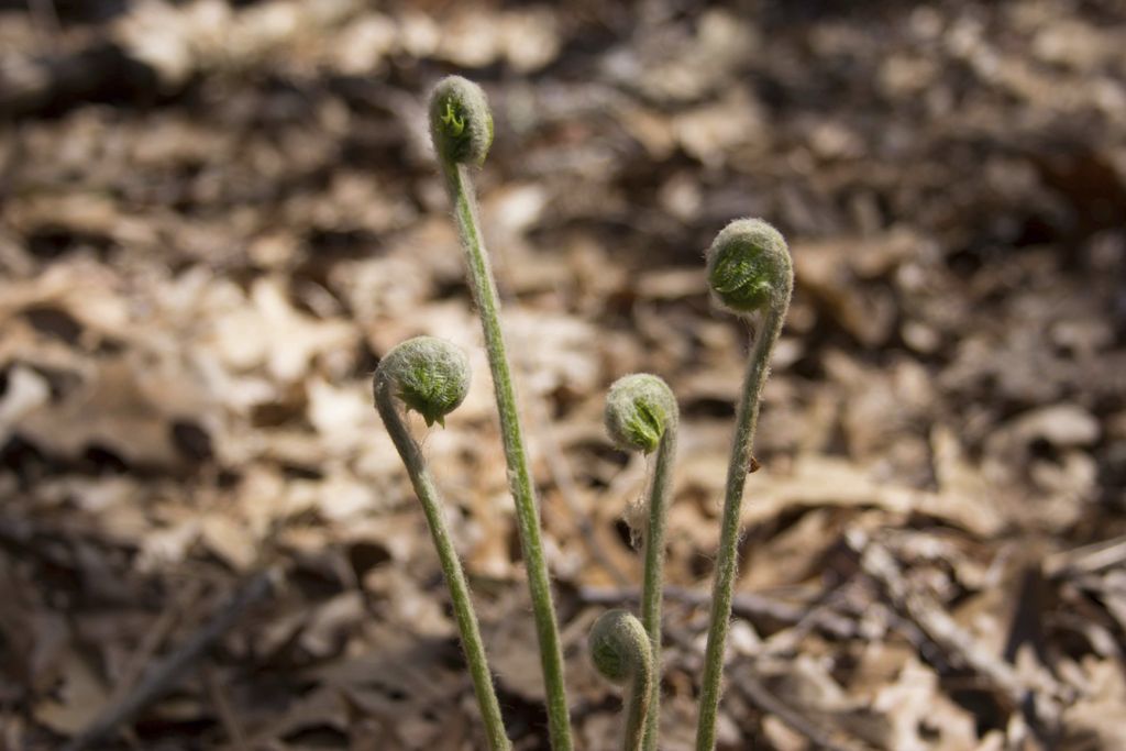
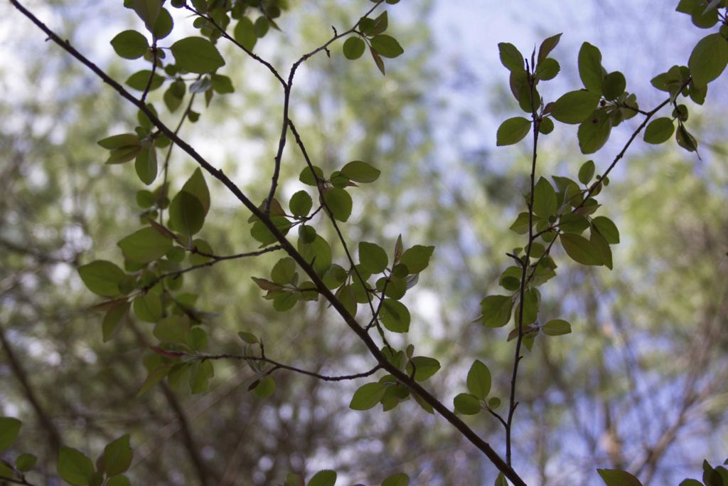
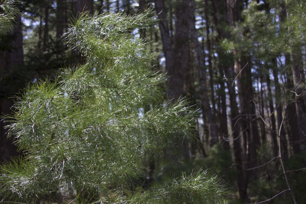
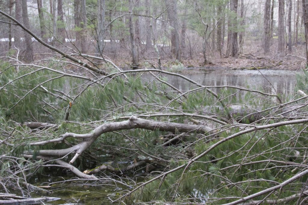
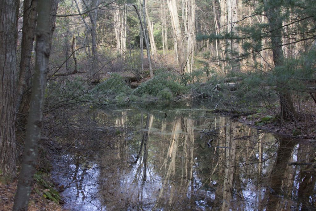
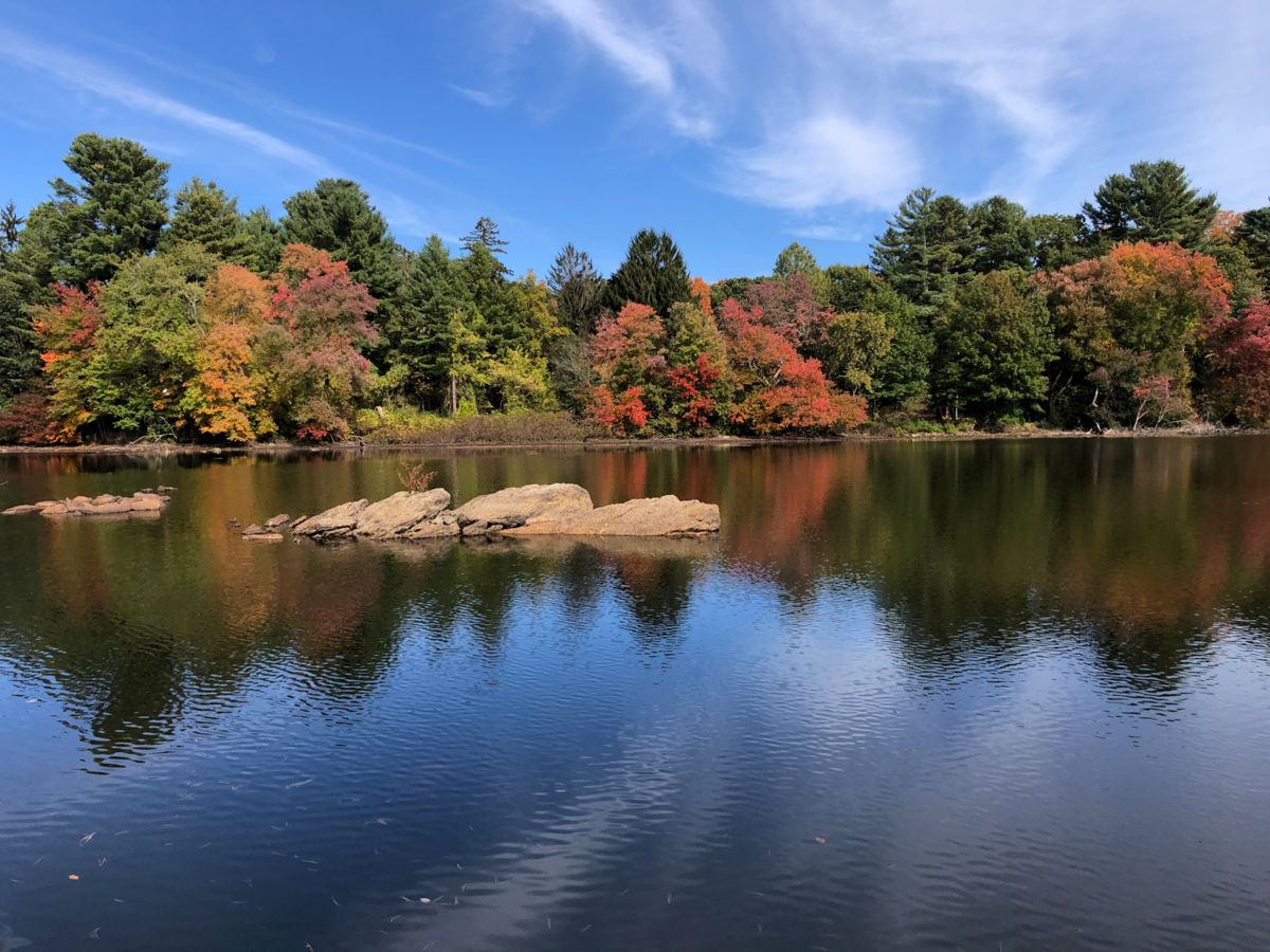
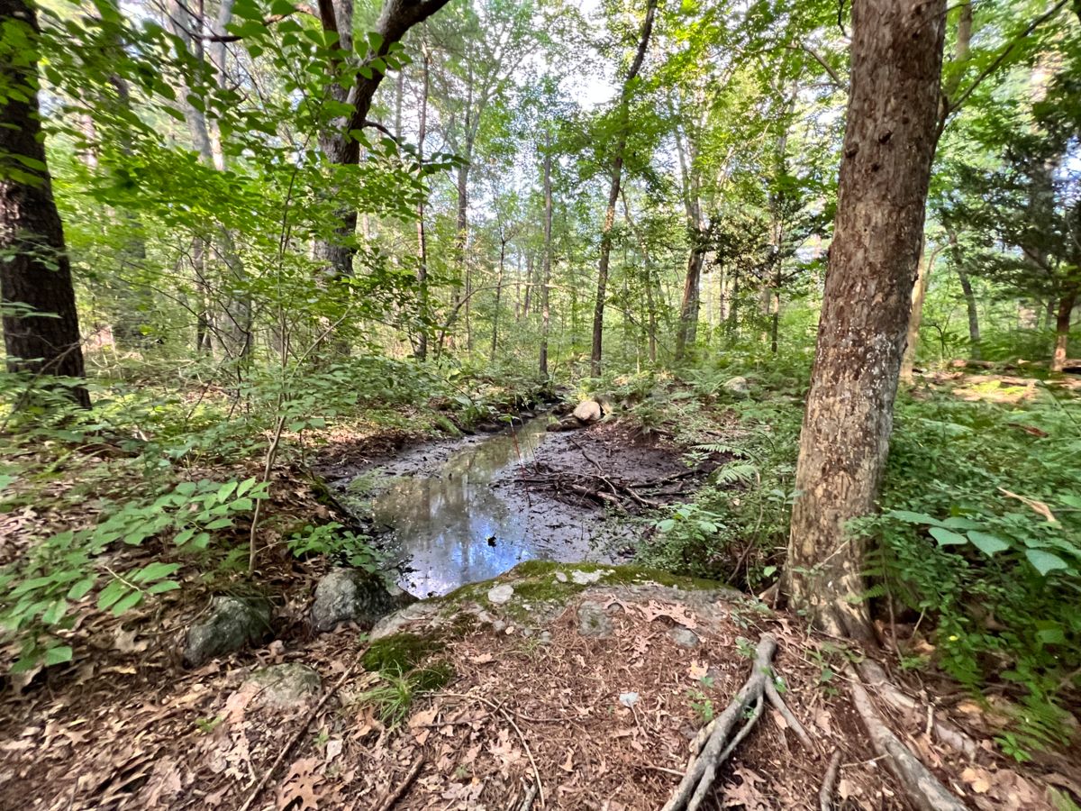
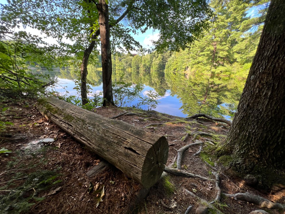
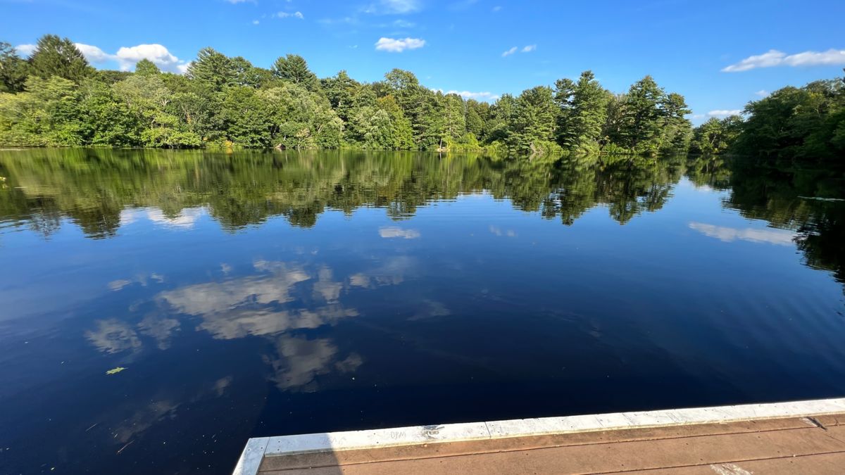
At one time this land was part of the fabled Baker Estate with the man-made Sabrina Lake as a recreational feature, complete with a miniature side-wheeler carrying guests on tours around the lake. The Sanctuary includes a pine grove, a deciduous woodland, a vernal pond, an island, a swamp and numerous wildflowers, ferns and club mosses. Be sure to stop at the William Guernsey Memorial Bench and enjoy the view of Sabrina Lake.
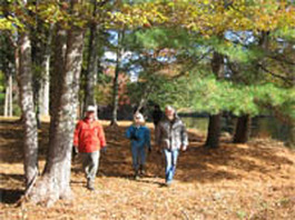
Guernsey Sanctuary is one of the Woodland Trails in the Wellesley Trail System and the trail head is located off of Winding River Rd.
Take a tour of Guernsey Sanctuary by air below, then come explore it on foot.
Location
West Entrance Navigation Location: Parking is next to 165 Winding River Road, Wellesley.
South Entrance Navigation Location: Parking is adjacent to 131 Locust Lane, Needham.
The property label is the approximate center of the property. The red pin icon markers are points of interest such as parking areas and trailheads. Click a marker for more information.
Features
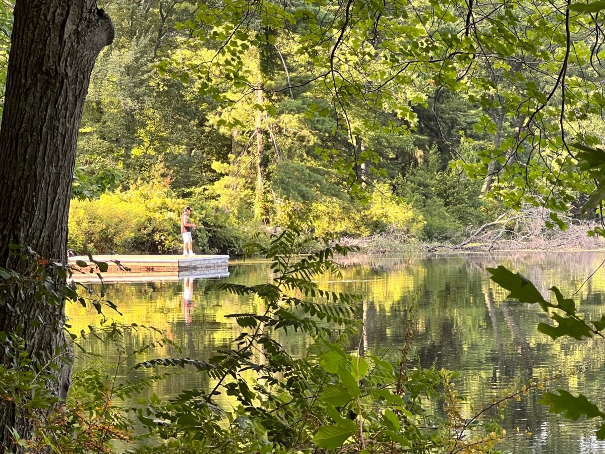
You can fish on the Land Trust’s dock on Sabrina Lake. It’s a decent 1/4 mile walk on trails through the sanctuary from one of the two entrances but nice open fishing from the dock. The two parking entrances are at 163 Winding River Rd, Wellesley, or at the end of the cul-de-sac at 130 Locust Lane, Needham. The dock is on the trail at the north end of the lake, just before Oak Island. It’s a little challenging to find the first time, so get your bearings first.
 Map with QR Coded markers
Size: 25 acres
Acquired: 1961
Managed by: Wellesley Trails Committee
Official website(s): https://www.wellesleyma.gov/800/Maps-Guides-Descriptions
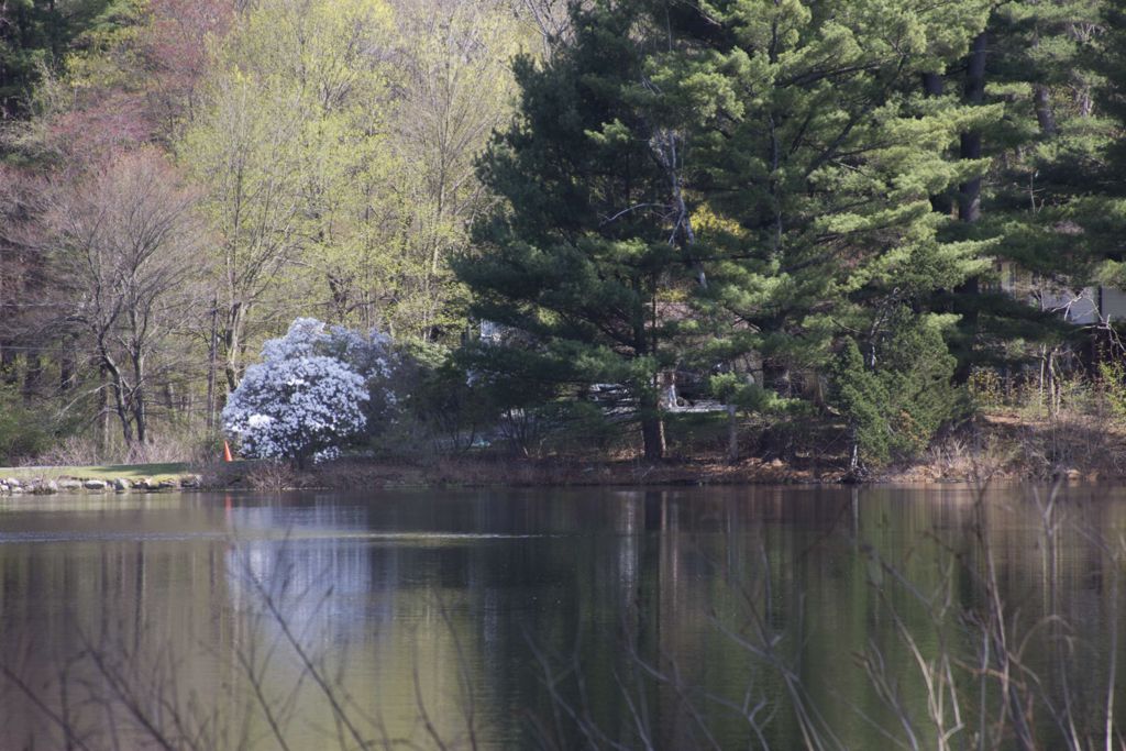
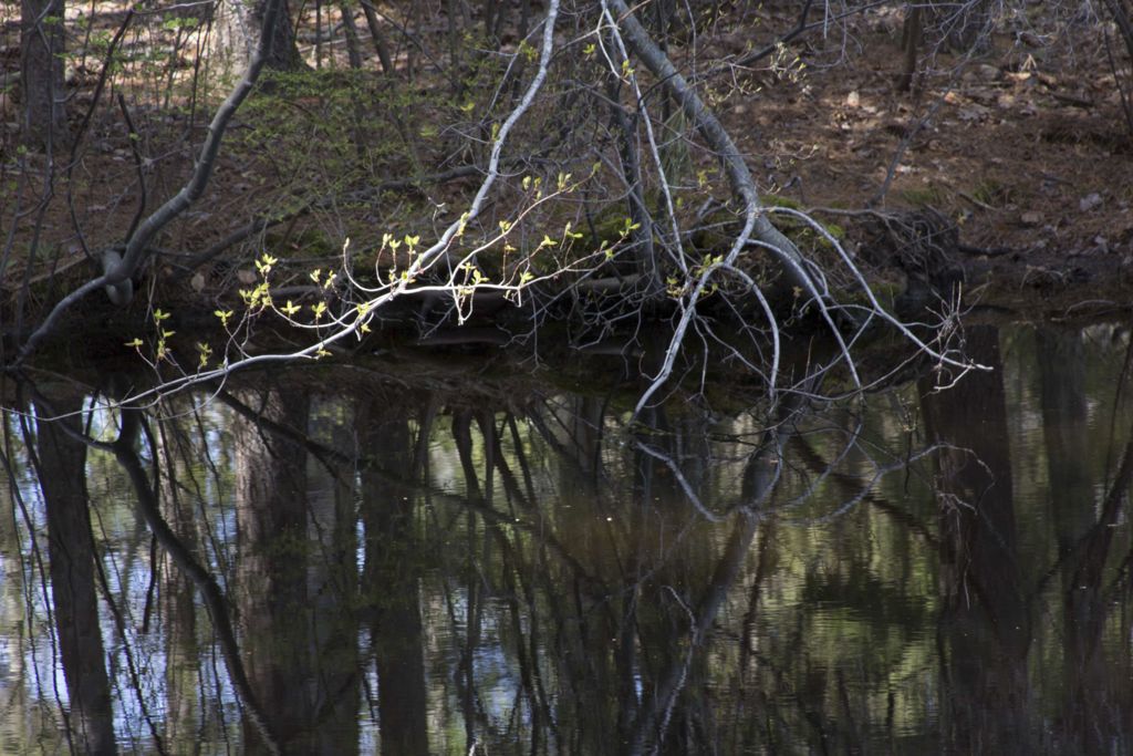
Photo Gallery

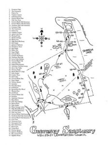
Guernsey Sanctuary Map
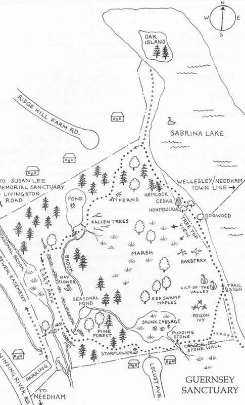
Click map for larger view