

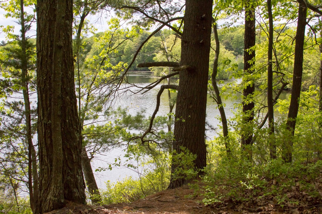
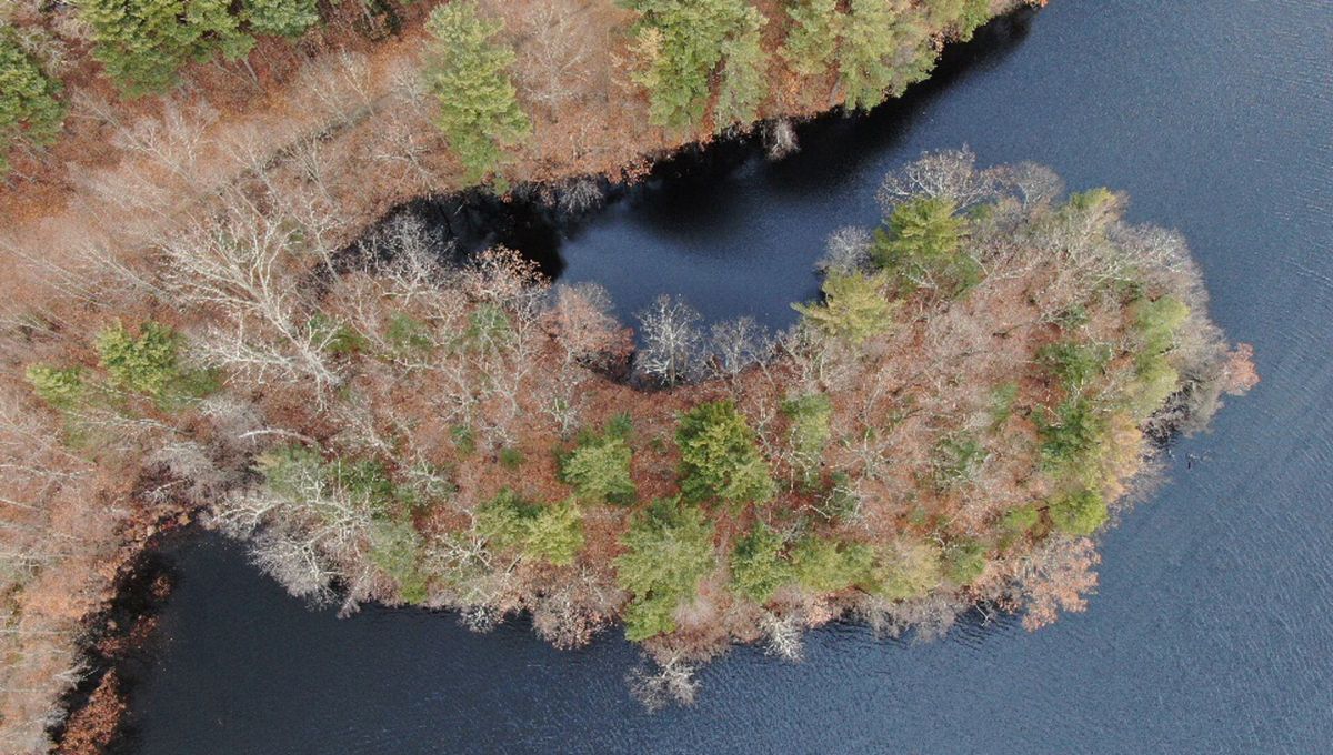
The Wellesley Conservation Council purchased Pickle Point in March 1960 from the Norumbega Boy Scouts. Pickle Point is a 500 x 50 foot promontory jutting into the northwest side of Morses Pond just west of Route 9. It is an esker which is a gravel ridge deposited by a glacier. On this three-acre peninsula there are a surprising variety of trees and many spring wildflowers. To reach Pickle Point you walk west along the Cochituate Path at the point where it crosses Russell Road. You can park in the small lot across from 49 Russell Road and head west on the trail on foot for 3 minutes. You will have views of Morses Pond on your left. Pickle Point is part of the Wellesley Trails’ Crosstown Trail.
Location
Directions. From Wellesley Square / Central Street, take Weston Road northwest. After 0.9 miles, turn left on Fells Road. (This is the last turn before Route 9. The Fells Branch of the Wellesley Free Library is located on the corner of Fells Road.) Follow Fells Road until it ends at Russell Road (about 0.2 miles). Turn left on Russell Road and proceed 0.1 miles to approximately 49 Russell Road, where the Cochituate Aqueduct and the Crosstown Trail cross Russell Road. Park on Kendall Road (a very short dirt road on the left). Cross Russell Road and follow the Crosstown Trail west and north for approximately one quarter mile. Pickle Point will be to the left of the trail. It is a section of land surrounded on three sides by Morses Pond.
The property label is the approximate center of the property. The red pin icon markers are points of interest such as parking areas and trailheads. Click a marker for more information.
Size: 0.5 acres
Acquired: March 1960
Managed by: Wellesley Conservation Council
Photo Gallery
Pickle Point Sanctuary Map
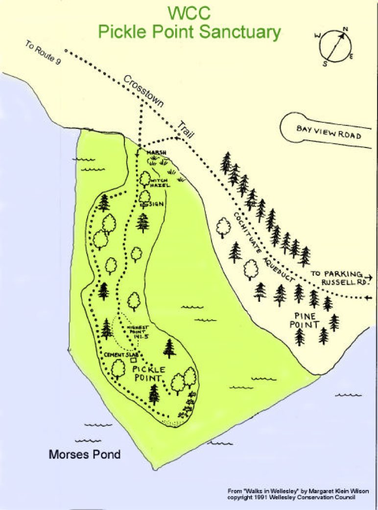
Click map for larger view